
Duluth ZIP Areas at a Glance
Four codes are associated with Duluth in the official-source research, but they do not serve the same purpose. Two are broad street-delivery areas. One is tied to post-office boxes, and one is a unique organizational code. USPS public tools confirm a specific address or city-and-state query rather than publishing a stable, exhaustive boundary table with named stations. For that reason, the entries below describe documented usage without inventing exact neighborhood lines, population totals, or station names.
| ZIP | Duluth-area use | Postal context | Key caution |
|---|---|---|---|
| 30096 | Central and southern postal area, including downtown and surrounding Gwinnett addresses | Duluth delivery area | Extends beyond incorporated Duluth |
| 30097 | Northern and eastern postal area, with planned communities and Johns Creek-adjacent geography | Duluth-named delivery area | Includes substantial unincorporated Gwinnett territory |
| 30095 | Post-office-box-associated Duluth use | Postal facility service | Not a normal street-delivery area; confirm current classification |
| 30099 | Unique or organizational mail use | Associated with a major corporate recipient | Not a neighborhood or resident-search area |
The distinction matters. A ZIP code directory can group mail, but it cannot identify all residents or define a municipality. For one current address, live USPS confirmation is stronger than a copied boundary graphic. For jurisdiction and parcel research, Gwinnett GIS and the assessor provide the next step.
Duluth ZIP 30096 Extends Outward
ZIP 30096 includes central and southern Duluth postal geography, including the old downtown area, plus a broad set of nearby Gwinnett addresses. The word “Duluth” in the mailing line may describe USPS delivery rather than incorporation. That difference changes which government holds a permit, code, planning, police, or municipal-court record. Duluth city files cover matters created by city departments. An unincorporated parcel belongs with Gwinnett County for the equivalent local functions.
Older downtown parcels can also require more than a postal search. The assessor may index a parcel by its normalized situs address, while a deed may use a subdivision lot, block, land district, or other legal description. Historical newspapers and catalogs may use Howell's Cross, Howell Crossing, or Gwinnett rather than a modern mailing line. Postal formatting is the first check, not the whole identity of the place.
Duluth ZIP 30097 Reaches North
ZIP 30097 covers northern and eastern Duluth postal territory and nearby planned communities. Research identifies substantial unincorporated Gwinnett and Johns Creek-adjacent postal geography within the wider Duluth mailing area. No official stable source in the project materials supports a complete neighborhood-by-ZIP list, so a subdivision name should not be assigned to 30097 without checking the actual address.
Planned subdivisions are often easier to join across records by parcel number, plat, lot, and block. Those fields remain useful even when the postal city and incorporated boundary do not align. The Gwinnett assessment record supplies the parcel key, while GIS shows its map setting. A recorded plat or deed supplies the legal land description. That chain is more reliable than treating every 30097 address as part of the City of Duluth.
Duluth's Non-Neighborhood ZIP Codes
Not every code in a ZIP code directory represents a walkable residential area. Research identifies 30095 as associated with Duluth post-office boxes. A box receives mail at a postal facility and does not identify the box holder's home parcel. Verify its current USPS classification before relying on it, because the official public tool is built for live checks rather than a permanent classification table.
ZIP 30099 is a unique organizational code commonly associated with a major corporate mail recipient. A unique ZIP serves a high-volume institution or organization instead of a normal street-delivery neighborhood. It should not be used to estimate Duluth households or to run a resident search. Business mail, principal-office filings, and registered-agent addresses also must not be converted into claims about personal residence.
- ZIP code
- A Postal Service routing code. It is not a city boundary.
- ZIP+4
- The base five digits plus four more that narrow delivery to a segment, box group, building, or other unit.
- PO-box ZIP
- A code used for mail collected through post-office boxes rather than ordinary street delivery.
- Unique ZIP
- A code assigned for a high-volume organization or institution.
- Carrier route
- A group of delivery points served along one postal route, which may cross other civic lines.
Verify a Duluth ZIP With USPS
The Postal Service is the authority for the delivery code on a current address. Its lookup accepts either a full street address or a city and state. Use the full address when possible. Enter the house number, street, unit, city, and state as printed on reliable mail, then record the standardized result. A city-and-state query can show codes linked to Duluth, but it does not draw legal city limits or prove that a person occupies the address.
| USPS lookup input | What it answers | What it does not answer |
|---|---|---|
| Street address, city, state | Standardized mailing address and current ZIP or ZIP+4 | Parcel ownership or city jurisdiction |
| City and state | Postal codes associated with the place name | Exact code for an unverified address |
| ZIP code | Postal city names associated with that code | Municipal boundary or all neighborhoods served |
The assigned image shows the official USPS ZIP Code Lookup.
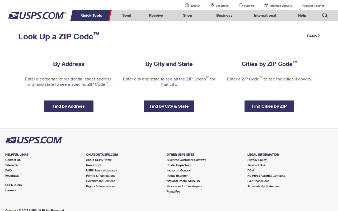
Use the returned mailing format as one fact, then confirm jurisdiction elsewhere.
Find Duluth Records by ZIP
Local public portals do not offer one verified ZIP-wide resident search. The simple Gwinnett assessor gateway is oriented to owner name, street address, parcel or PIN, and map routes; the research did not confirm a ZIP filter there. Duluth's permit portal accepts Permit Type, Permit Number, and Service Address, but its opening form has no explicit ZIP field. Georgia My Voter Page authenticates one voter with first initial, surname, county, and date of birth. It is not a ZIP browser.
- Verify the complete mailing address in USPS lookup and save the standardized ZIP code.
- Enter the street address in Gwinnett property search. Record the parcel or PIN, situs address, owner mailing field, and legal description.
- Open Gwinnett GIS. Find the parcel by address or PIN, then inspect the current layers or boundary information needed to identify jurisdiction.
- Use the office that created the record. Search Duluth permits only for incorporated city addresses; use Gwinnett Planning and Development for unincorporated parcels.
- If research legitimately calls for an existing election list by geography, follow Georgia Secretary of State or Gwinnett Elections terms. Do not treat registered voters as all residents.
Once a postal area has been narrowed to an actual road, the Duluth street directory explains the parcel-by-parcel method. It keeps the street chain separate from ZIP geography.
Map Duluth Postal Mismatches
Gwinnett GIS can locate a parcel, owner, street, address, or intersection. Search the standardized address, select the result, and click the parcel. The current interface may offer layers, legend, measurement, print, save, and share tools. Confirm the live layer list before claiming that a ZIP boundary is displayed because layers can change. A screen map is useful for context but is not a legal boundary survey.
Parcel or PIN is the stable join key between the assessor and map. Situs is the physical parcel address. The mailing field is where assessment or tax correspondence goes. A legal description, such as a subdivision lot and block, controls the land in recorded documents. Keeping those four concepts separate stops an absentee owner's address, a postal-city label, or a standardization change from being mistaken for the parcel itself.
Duluth ZIP and City Limits
Postal city, incorporated city, county tax district, school zone, and parcel are different geographies. The mismatch is most visible in the Duluth-named 30096 and 30097 areas. USPS chooses the address format for delivery. Duluth's boundary determines whether city departments have jurisdiction. Gwinnett sets county parcel facts and handles county services. School assignments and tax districts answer still different questions.
This difference controls access channels. For a city address, Duluth eSuite can search a permit by service address, and the City Clerk handles requests for existing municipal records not posted online. For an unincorporated Duluth mailing address, Gwinnett County is the correct permit or code custodian. In either case, the assessor and GIS remain county sources. A narrow request under the Georgia Open Records Act can seek an existing nonexempt record, but an agency need not create a custom ZIP resident list.
Boundary check. Treat “Duluth, GA” as a postal label until the Gwinnett parcel map confirms whether the address lies inside city limits.
Duluth Communities Beyond Postal Lines
Duluth's old downtown, rail corridor, postwar subdivisions, apartment communities, and newer mixed-use areas produce different public-record trails, but no official source in the research supplies a complete neighborhood-by-ZIP directory. Public community pages may identify events, programs, or organization contacts. They do not create a resident roster or a private association membership list.
The assigned image comes from the City of Duluth community resources.
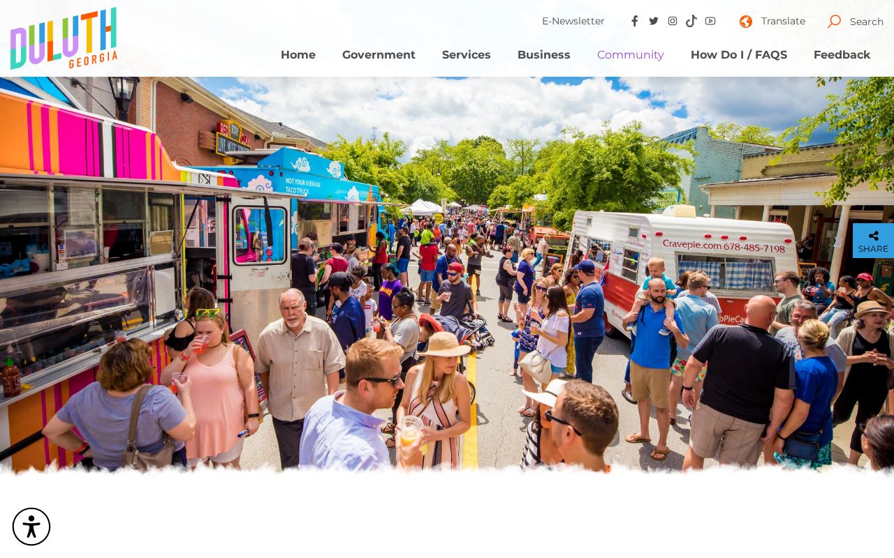
Use it for city context only after confirming that the address is actually incorporated.
Limits of Duluth ZIP Research
No official dated Duluth-wide ZIP split, realignment, or street-renumbering event was found in the project research. None should be inferred from an old directory or repeated without a city ordinance, USPS record, or map that supports the date. The official sources also did not provide stable ZIP population totals or a full station-name table. Current USPS tools and the county map should control each address check.
A ZIP code directory narrows delivery geography. It cannot name renters, list a full household, verify a business address as a home, or replace parcel and jurisdiction checks. Assessment owners may be trusts, estates, companies, or people who receive mail elsewhere. Permit applicants and contractors have filing roles. Voter records cover registered voters only and protect specified data. Preserve those limits when connecting names to Duluth postal areas.